
Sathyamangalam is one of very few places in India where the Western Ghats and the Eastern Ghats physically meet. That accident of geology is why one reserve holds thorn scrub at 600 mm of rain and semi-evergreen forest at 1,200 metres, sometimes twenty kilometres apart — and why getting its basic geography right, consistently, across every source that cites it, actually matters.
Southern Tropical Dry Thorn at ~600mm through Southern Tropical Semi-Evergreen at moist pockets near 1,200m. The Dry Mixed Deciduous type (Champion & Seth code 5A/C3) dominates at 800–850mm — Anogeissus latifolia, Terminalia crenulata, Santalum album, fire-prone.
See the full classification table ↓About 70% of the 824mm mean falls in the northeast monsoon, September to November. Rainfall itself ranges from roughly 600mm in the dry thorn belt up to 850mm on the deciduous slopes — a single reserve spanning two rainfall regimes.
See the coordinate table ↓The reserve totals 1,408.40 km² — a core of 793.49 km² and a buffer of 614.91 km². The original 2008 sanctuary was just 524.34 km²; the area roughly tripled with the September 2011 enlargement. Confirmed against the primary 2013 gazette notification — see below.
See the resolved core-area discrepancy on Sources & Data →The reserve now runs to ten ranges across the Sathyamangalam and Hasanur forest divisions. The 2010 sanctuary establishment recorded four ranges — Sathyamangalam, Bhavanisagar, Talavadi and T.N. Palayam — the schedule below is that historical baseline.
See ranges and beats ↓| Attribute | Value | Source |
|---|---|---|
| Tiger reserve area | 1,408.40 km² — core 793.49 km², buffer 614.91 km² | TN Forest Dept (STR portal) |
| Original sanctuary | 524.34 km², notified GOMS No. 122, 3 Nov 2008 | Management Plan 2010–2020 |
| Sanctuary bounding box | 11°29′15″–11°48′41″ N · 76°50′–77°27′22″ E | Management Plan 2010–2020 |
| Parent forest division | Sathyamangalam Forest Division — 1,455 km² | Management Plan 2010–2020 |
| Districts / taluks | Erode district — Sathyamangalam, Thalavady, Gobichettipalayam taluks | Wikipedia / TNFD |
| Contiguous with | Mudumalai TR, Bandipur NP, BRT WLS, Cauvery WLS, Sigur Plateau | WII MEE-TR |
| Range | Area (ha) | Beats |
|---|---|---|
| Sathyamangalam | 16,700.65 | Dimbam · Vadavalli · Chickarasampalayam · Kondappanaickenpalayam · Kembanaikenpalayam |
| Bhavanisagar | 14,024.65 | Thengumarahada · Talamalai (pt) · Gejalatti (pt) · Peerkadavu (pt) · Kothamangalam · Bannari (pt) |
| Talavadi | 8,300.98 | Palayam · Belathur · Geddavady |
| T.N. Palayam | 13,408.66 | Kadambur East (pt) · Vilankombai · Kongarpalayam · Kovilur (pt) · Bungalowpudur · Kanankampalayam · Gundri (pt) |
Extracted from the Tamil Nadu Forest Department Management Plan for Sathyamangalam Wildlife Sanctuary 2010–2020. The reserve now runs to ten ranges across the Sathyamangalam and Hasanur divisions; the current range schedule is being reconciled and will be published here with its source.
| Code | Type | Rain | Characteristic species |
|---|---|---|---|
| 6A/C1 | Southern Tropical Dry Thorn | ~600 mm | Acacia spp., Albizia amara; stunted, heavily grazed |
| 5A/C3 | Southern Tropical Dry Mixed Deciduous — dominant | 800–850 mm | Anogeissus latifolia, Terminalia crenulata, Santalum album, Dendrocalamus strictus; fire-prone |
| 8A/C1 | Southern Sub-Tropical Hill Forest | higher | Acacia, Albizia, Hardwickia; heavily invaded by Lantana and wattle |
| 2A/C2 | Southern Tropical Semi-Evergreen | highest | Moist pockets ~1,200 m; Mangifera indica, Dalbergia latifolia, Bambusa arundinacea |
| — | Riparian | — | Moyar corridor; Terminalia arjuna, Spondias mangifera, bamboo thickets. Critical elephant and vulture habitat |
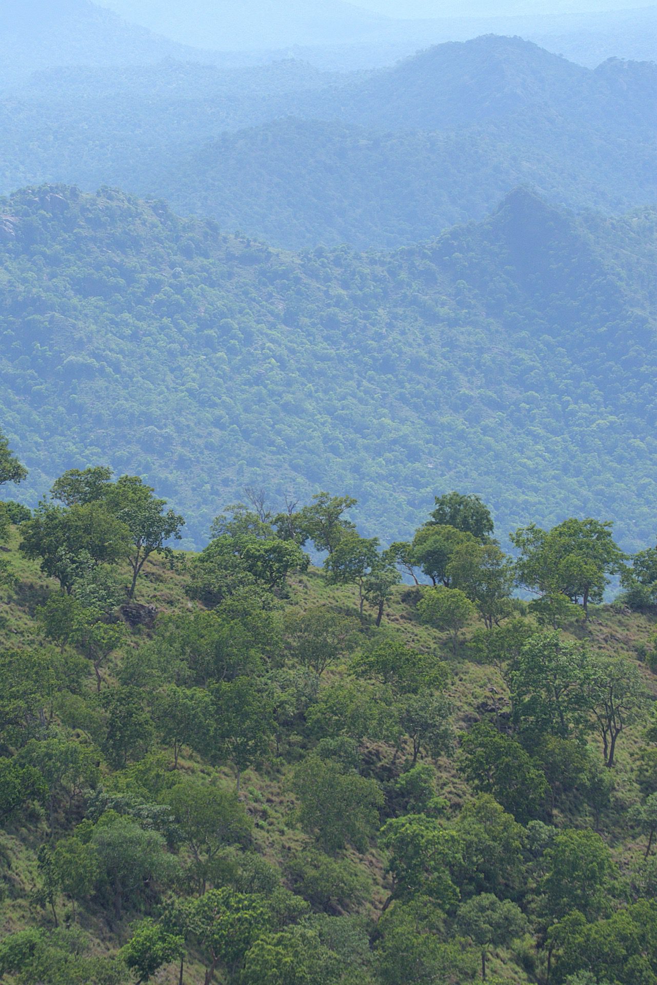
General reserve terrain — no photo set distinguishing all five forest types individually was found under an open licence. See the media credits.
The Forest Department gives the core zone as 793.49 km². Wikipedia and several secondary sources had given 917.27 km² instead — flagged here as an open, unresolved conflict for months. The primary source has now been obtained: the Environment and Forest (FR.V) Department's G.O., dated 16 March 2013 — the actual gazette notification declaring the reserve under Section 38(V) of the Wildlife (Protection) Act, 1972 — states the core area as 79,349.331 hectares (793.49 km²) and the buffer as 61,491.240 hectares (614.91 km²), total 140,840.541 hectares (1,408.405 km²). The Forest Department figure was correct; the Wikipedia figure has been removed from the live conflicts table on Sources & Data as superseded. A separate discrepancy remains open: the G.O.'s own number reads "No. 4" on the scanned primary document, but the Forest Department's current portal states "No. 45" for what appears to be the same order — not yet resolved.
Every entry in this atlas hangs off a place. Ranges, beats, settlements, peaks, river stretches, the ghat, the temples. Most of them have never been mapped anywhere else. Click a marker or a card.
Real places with real coordinates, sourced from OpenStreetMap — villages, roads, temples, hamlets, river stretches. No written description exists yet for any of them; shown here as names and locations only, honestly, rather than left off the map or filled in with invented text.
Coordinates are approximate at this version and deliberately published at settlement resolution only. This atlas does not and will not publish precise locations of tiger dens, vulture nesting cliffs, sandalwood stands or pangolin records. Official reserve boundary geometry will be loaded from the World Database on Protected Areas; compartment boundaries from the management plan once digitised.
The atlas backend currently holds 89 named places against a target of 1,200 — about 7.4% complete. OpenStreetMap contains only ~150 named features for this landscape; the other ~1,100 names sit in the 391-page management plan and need extraction with human review. This is the single largest gap in the whole atlas — see the live coverage table.
Five named corridors tie Sathyamangalam into the wider Western Ghats elephant landscape, per Right of Passage: Elephant Corridors of India (Project Elephant / MoEFCC, 2023) and its Tamil Nadu companion report.
Sathyamangalam also sits within the wider Mudumalai–Bandipur–Wayanad–Sathyamangalam elephant complex described in the same report, alongside the well-known Segur corridors further west.
Every number here traces to the 2010 management plan or the Forest Department's own current figures. The core-area discrepancy that once stood here has been resolved against the primary 2013 gazette notification; other disputed figures (tiger, elephant and leopard baselines) remain flagged rather than silently picked — dig into the live coverage dashboard for the full record.