Visiting, filming and researching are governed by different rules, different offices and different lead times. Most confusion online comes from mixing them up. Sathyamangalam is not a tiger-sighting destination — dense dry deciduous forest, not Bandipur-style open woodland. People who come for elephants, gaur, extraordinary birding and empty roads leave very happy.
01
Three Ways In
Visitors & Safari
Safari window 6 AM–6 PM, closed Wednesdays. Bookings through the official TNFD portal only — third-party prices are usually stale. Best season November–February.
Commercial, documentary, broadcast or crew/tripod work needs written permission — six offices deep, 6–12 weeks lead time minimum. Personal handheld photography on a normal safari is not "filming".
Institutional affiliation required. Proposal to the Field Director, STR, then Chief Wildlife Warden, then NTCA approval for core-area or tiger work. Data-sharing is a condition, not a cost.
Bookings and current fees through the official TNFD portal only. Third-party sites quoting prices are usually out of date — verify before you pay anyone.
Night travel on the highway through the reserve is restricted. Plan the Dimbam ghat in daylight.
Best season November–February. March–May is hot and dry but concentrates animals at water.
Around the reserve
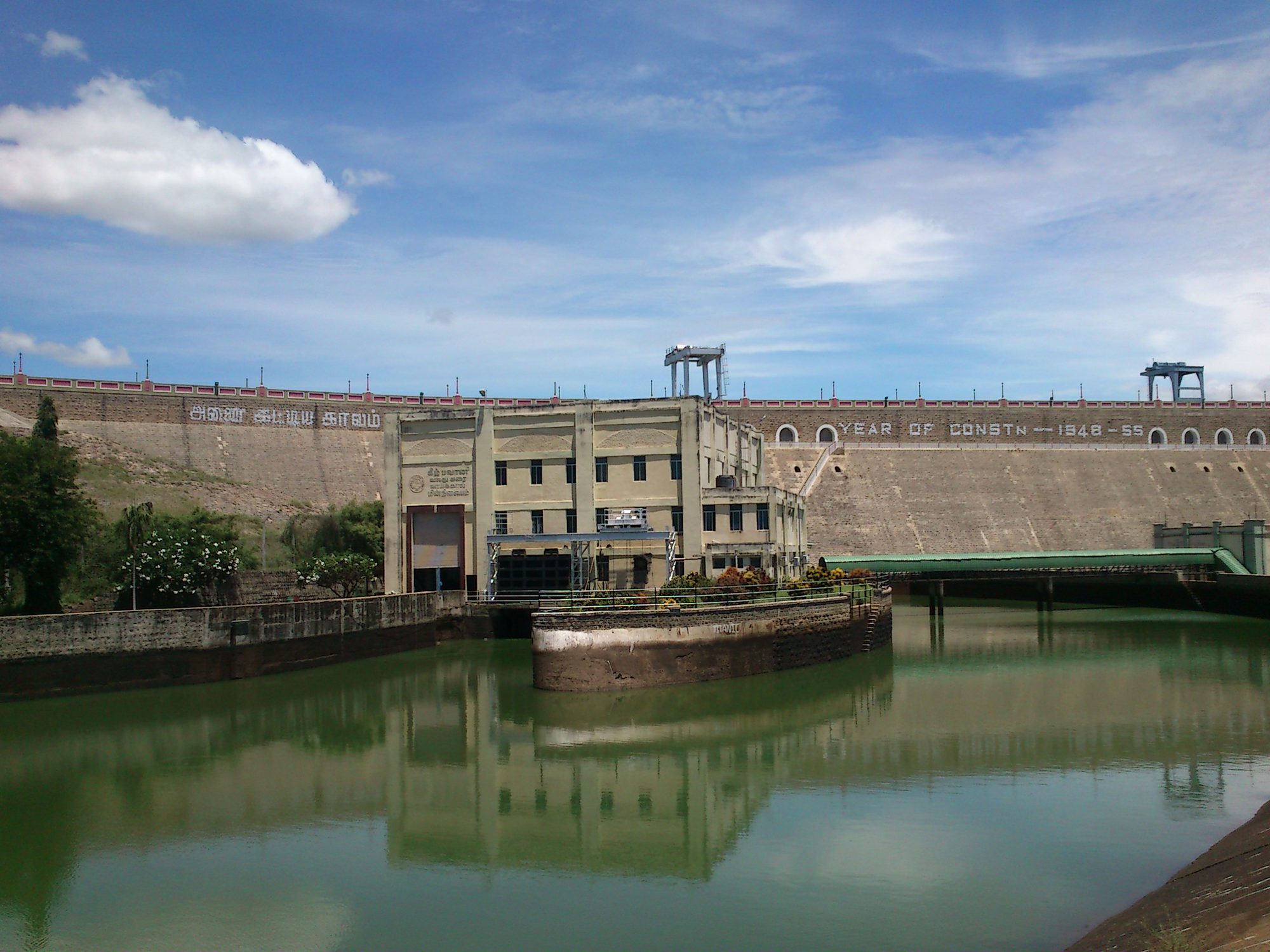
Bhavanisagar Dam — 16 km west of town, among the world's largest earthen dams; backwater birding
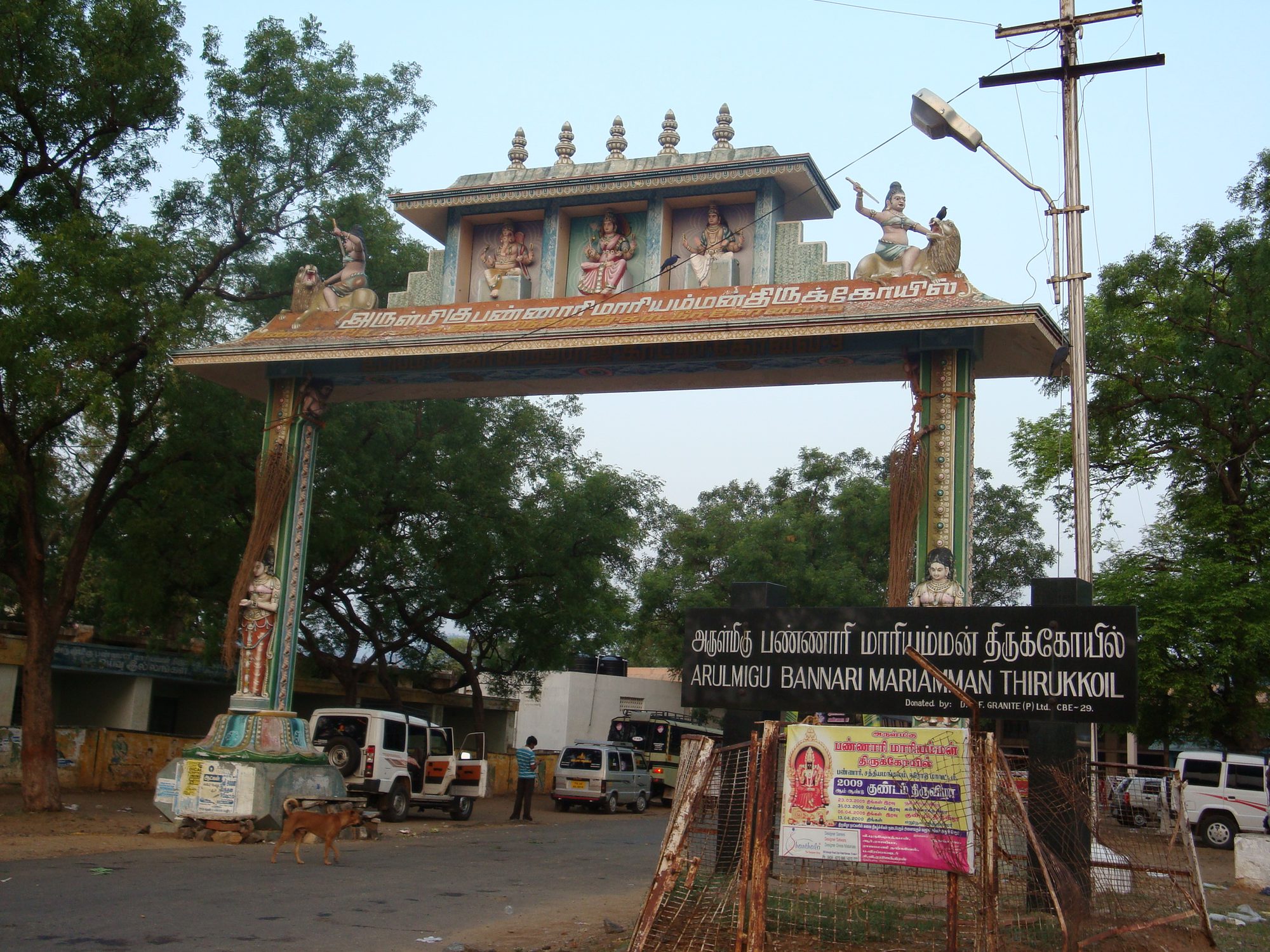
Bannari Amman Temple — major regional pilgrimage site at the foot of the ghat
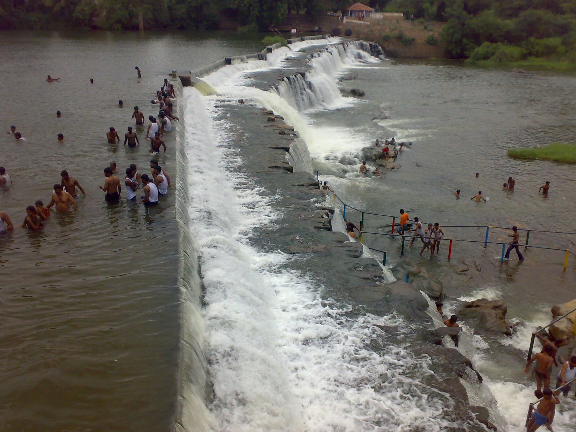
Kodiveri Dam & falls — a 16th-century weir on the Bhavani, coracle rides
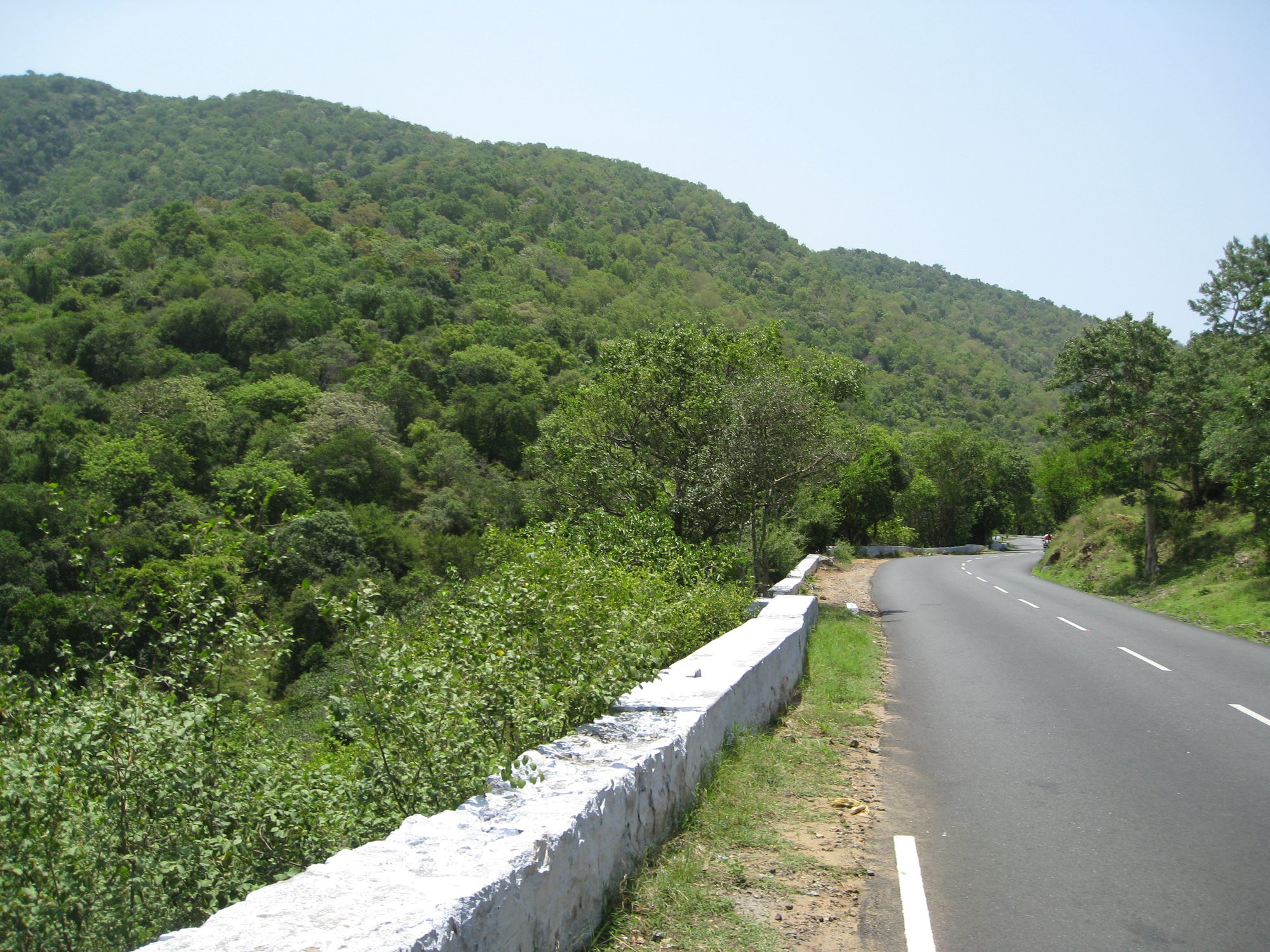
Dimbam ghat — 27 hairpins and viewpoints over the plains; drive slowly, elephants use it
Thengumarahada — remote farming settlement in the Moyar valley on rough track
Hasanur, Talamalai, Talavadi — the upland heart of the reserve on the Karnataka border
Bhavanisagar DamVkraja · CC BY-SA 4.0
Bannari Amman TempleKrishnaeee · CC BY-SA 3.0
Kodiveri DamJayakanthanG · CC BY-SA 3.0
Dimbam ghatRsrikanth05 · CC BY-SA 3.0
No verified photo found for Thengumarahada or the Hasanur/Talamalai/Talavadi upland belt — not pictured rather than substituted. See the media credits.
Rules that keep everyone alive
Never get out of your vehicle. Never come between an elephant and its calf, or block a herd's path. No plastic. No horns. No playback calls. No feeding. No drones. If an elephant blocks the road, reverse slowly — do not try to pass.
03
The Filming Permit Chain
Establish your category. Personal photography with a handheld camera on a normal safari is not "filming". Commercial, documentary, broadcast and any tripod/crew/staged work is, and needs written permission.
Apply to the Field Director, STR with a synopsis, crew list, equipment list, dates and the exact ranges you want.
Chief Wildlife Warden, Tamil Nadu sanctions filming inside protected areas. This is where the decision sits.
NTCA concurrence may be required for core-area filming — build it into your timeline.
Foreign crews additionally route through India Cine Hub / Ministry of I&B and may require a liaison officer.
Fees and security deposit are set by government order and change. Get the current schedule in writing before budgeting.
Lead time: 6–12 weeks for a domestic documentary, longer for foreign productions or core access. Nobody gets this in a fortnight.
Ground truth for planning
Drones are effectively prohibited for private crews inside the reserve. The department flies its own for surveillance. Do not plan aerials.
Nov–Feb cool, green after the northeast monsoon (which delivers 70% of the 824 mm), best all-round conditions and birding.
Mar–May hot and dry, vegetation thins, animals concentrate at water — highest sighting probability, hardest conditions, peak fire risk.
The yellow window.Senna spectabilis flowers in a striking mass yellow — spectacular, and the visual signature of the reserve's biggest ecological problem.
Vultures. The Moyar gorge is the region's key nesting habitat for critically endangered Gyps species. Extremely sensitive; approach only with the department and a researcher.
Mahseer of 30–40 kg are recorded in the perennial waters — an underused story.
04
Research Access
Institutional affiliation first. Independent applications without a recognised host rarely succeed.
Proposal to the Field Director, STR — objectives, methods, exact sites, duration, personnel, and what the department gets out of it. That last point matters more than most applicants realise.
Chief Wildlife Warden, Tamil Nadu grants research permission in protected areas.
NTCA approval for core-area work and anything involving tigers directly.
Additional clearances for animal handling, sample collection, radio-collaring or genetic material — separate and slow.
Data sharing agreement. Expect a condition to share findings. Treat it as the point, not a cost.
Institutions active here
SACON, Anaikatty — ornithology and bioacoustics, the closest major institution
Wildlife Institute of India — All India Tiger Estimation, MEE, the TCP framework
ATREE — invasive species, NTFP, the Moyar–Bhavani citizen-science invasive atlas pilot
Nature Conservation Foundation — human–elephant conflict across the corridor
CCMB Hyderabad — the 2009 scat DNA tiger analysis
Bharathiar University, Coimbatore — regional botany and ecology
Open problems worth a thesis
No public multi-reserve time-series invasion map stitches Mudumalai, Sathyamangalam, Bandipur, Nagarhole, Wayanad and BRT into one continuously-updated layer — despite cross-boundary reinvasion being the stated reason coordinated removal is needed.
Post-clearance regrowth verification is entirely unaddressed, against a court deadline.
There is no vernacular, offline-first, icon-driven data-capture tool for Tamil-speaking forest watchers; M-STrIPES assumes literate, English-comfortable operators.
Bioacoustic classifiers perform poorly on Indian species, and no open frog classifier exists for the Western Ghats.
The reserve's own plan flags amphibians, reptiles, invertebrates and pangolin ecology as having no baseline at all.
And nobody has georeferenced the 1870–1966 Survey of India sheets against current satellite imagery to produce a 150-year land-cover change map of this landscape.